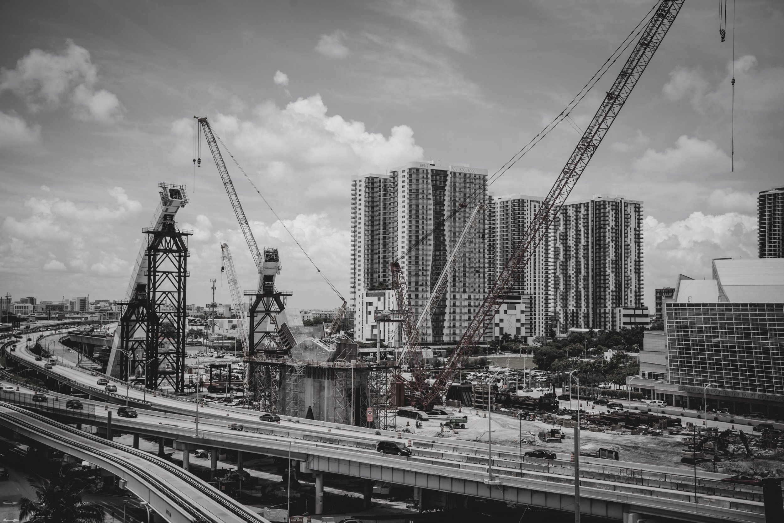
See your project from a new perspective. Professional area photography in 3-D mapping for Construction properties and project documentation.
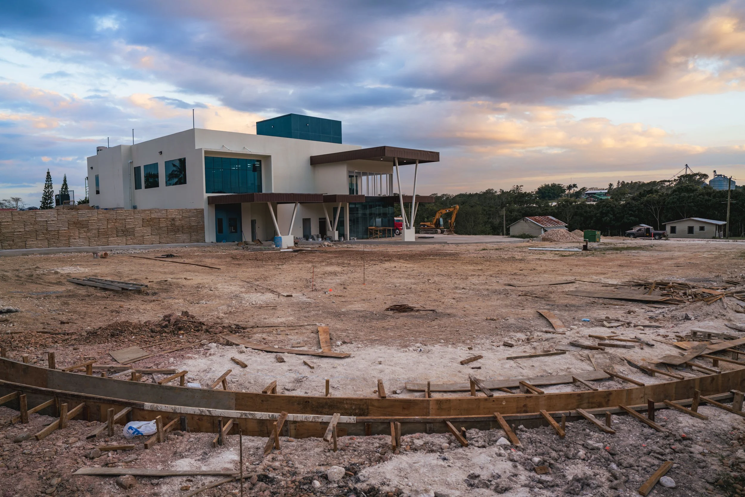
Precision aerial solution built for better decisions from professional aerial photography to detail 3-D mapping. We provide clear accurate visual that helps you document progress. Understand your site and move your project forward.
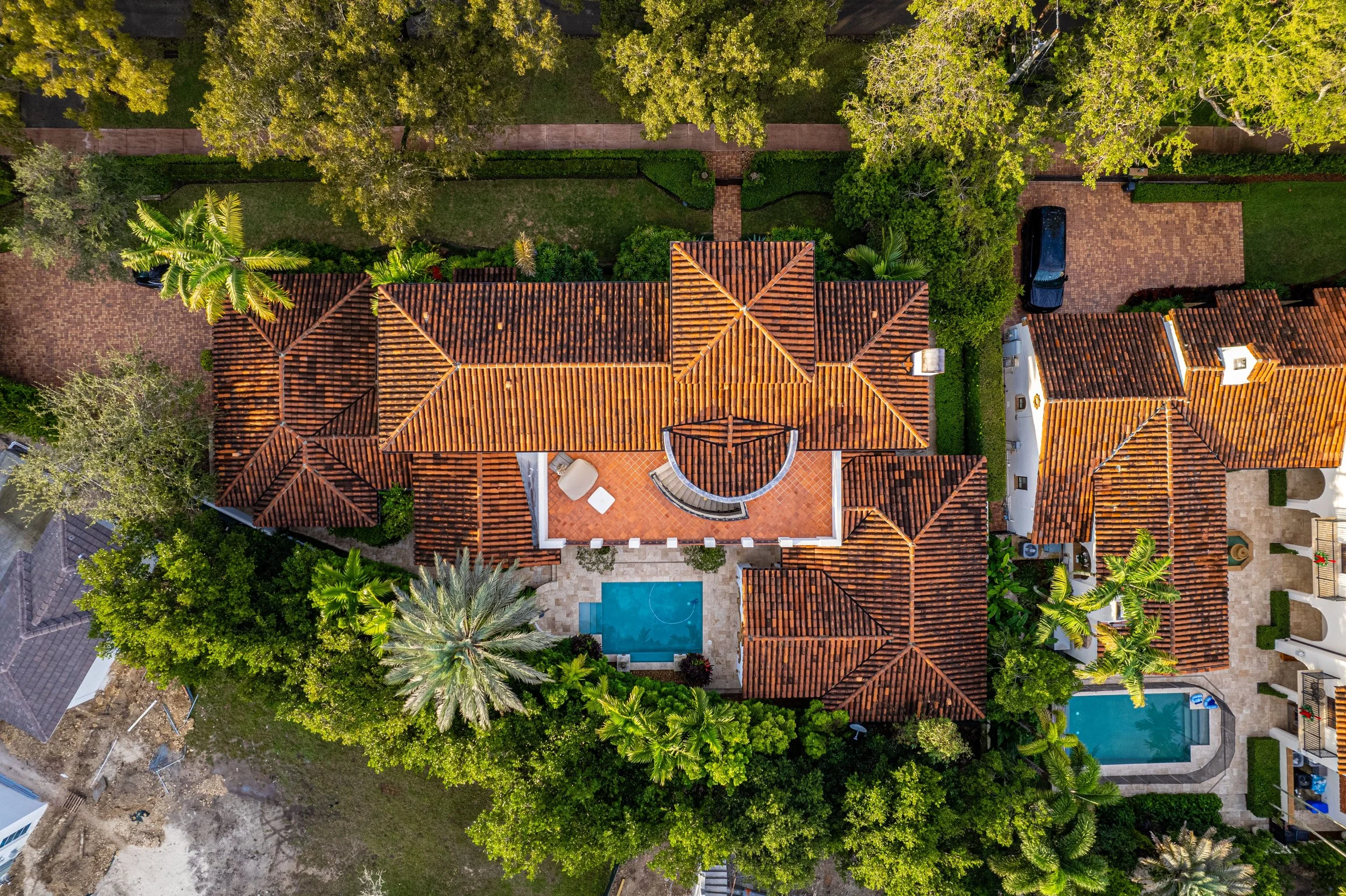
Photography professional aerial imagery for real estate construction and commercial projects.
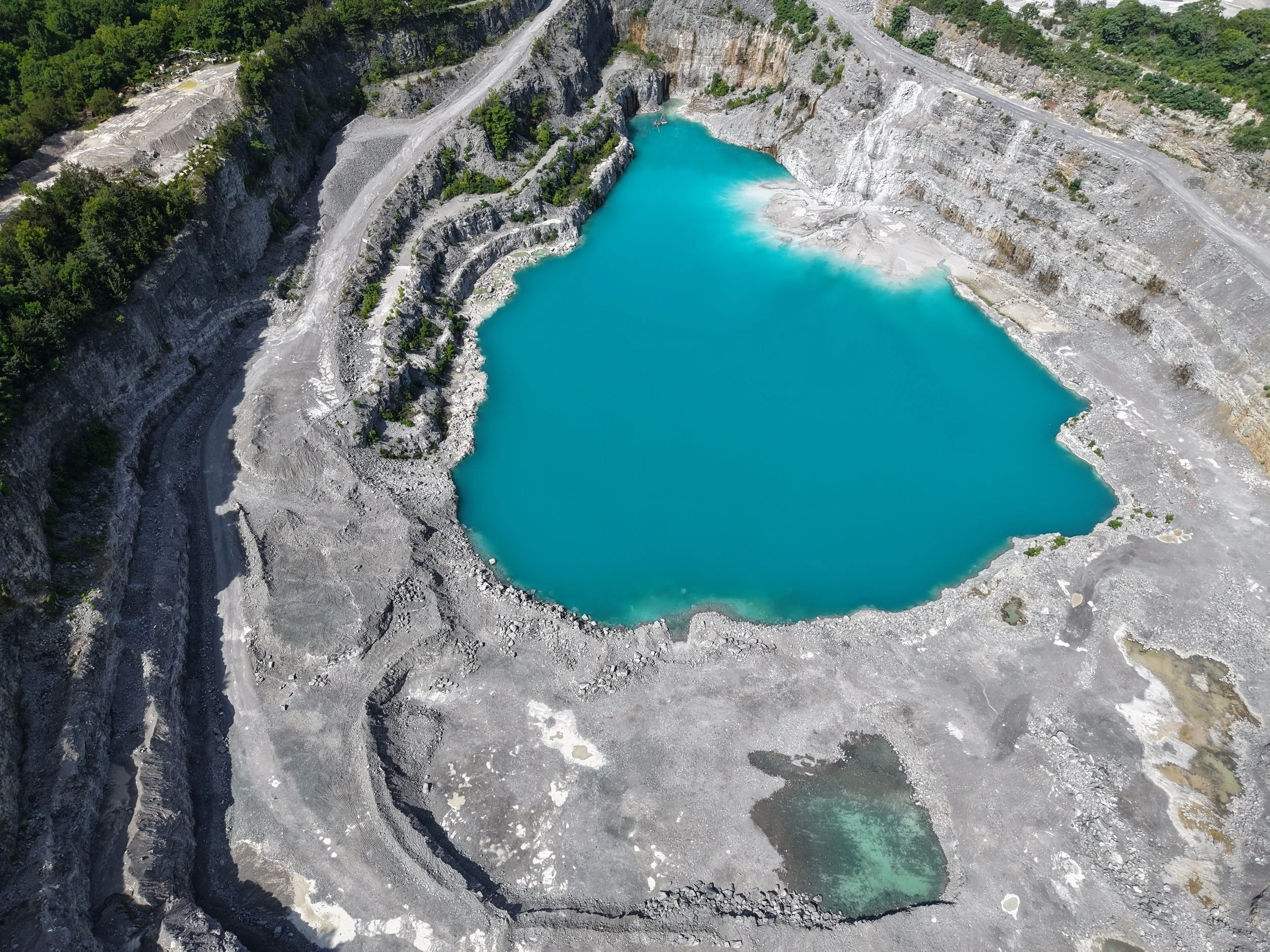
3D mapping in photogrammetry. accurate aerial mapping for quarries land development, stockpiles and large scale projects
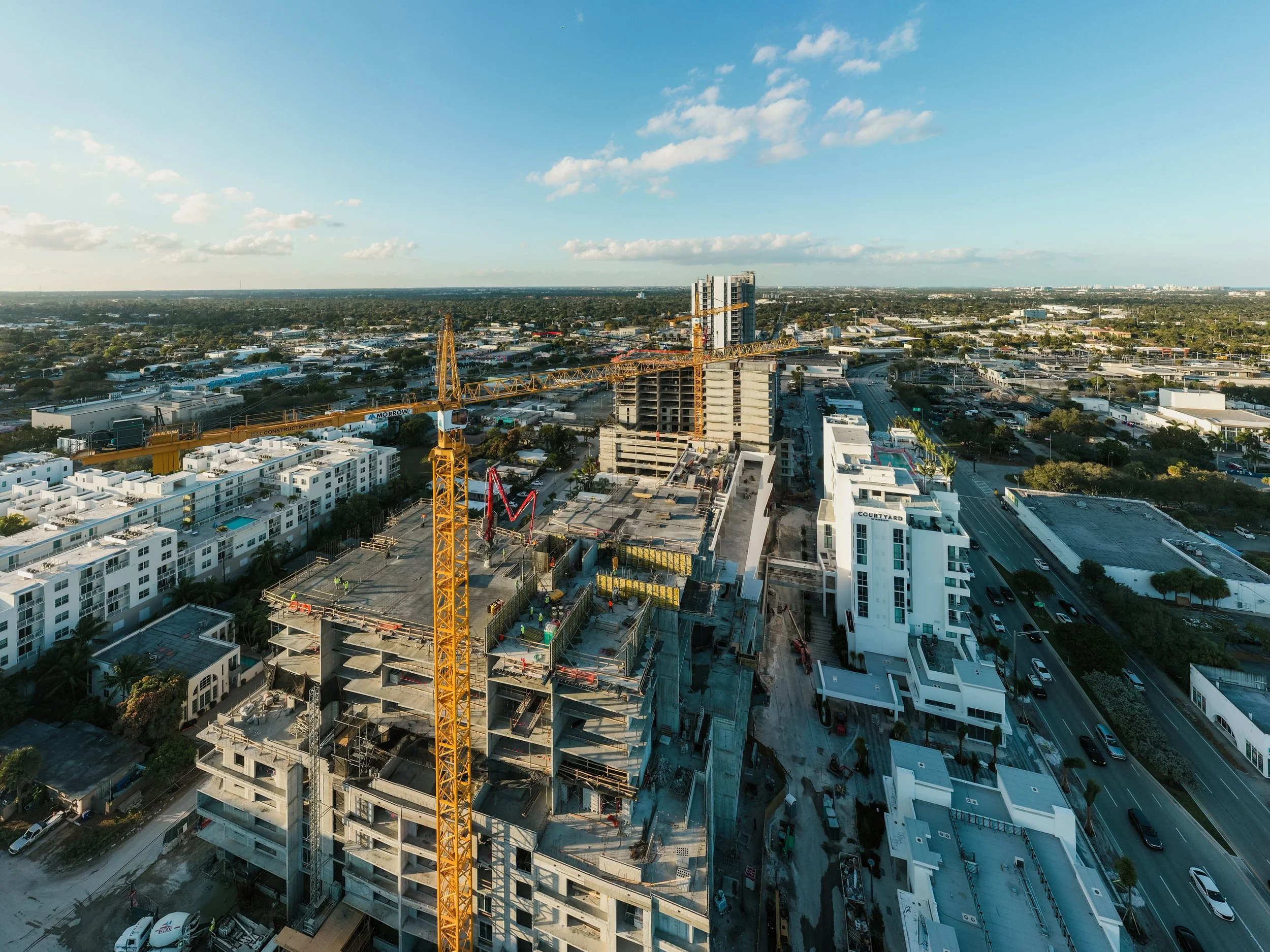
Construction progress, consistent visual updates to track milestones and site activity